Getting Around
Subways, trains, buses, taxis, maps and road-trip guidance.
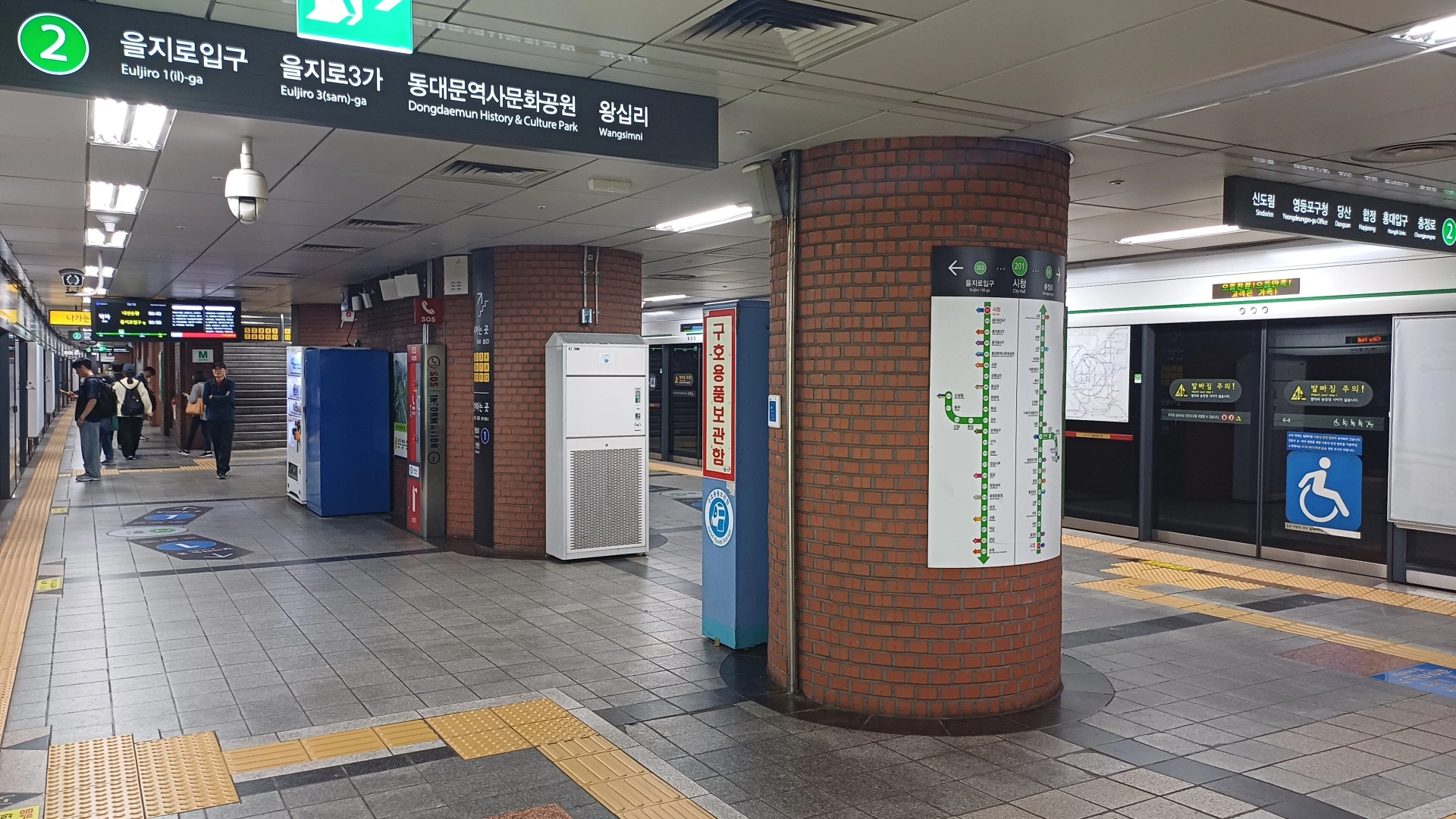
Calculate before you tap in
Choose the arrival mode, transit payment setup and connectivity that fit your actual movements.
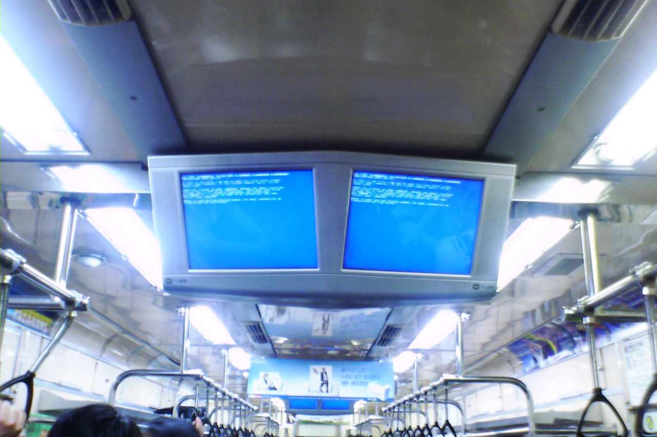
Seoul Subway Guide: Exits & Transfers
The hard part of Seoul's subway is not buying a ticket—it is choosing the right exit, avoiding unnecessary transfers, handling luggage and matching the route to your walking tolerance.

T-money vs Climate Card: Transit Guide
Understand Korea transit payment as a compatibility problem: physical T-money, Climate Card, foreign credit cards, MobileTmoney, Apple Pay, contactless tap-to-ride and where each method really works in 2026.
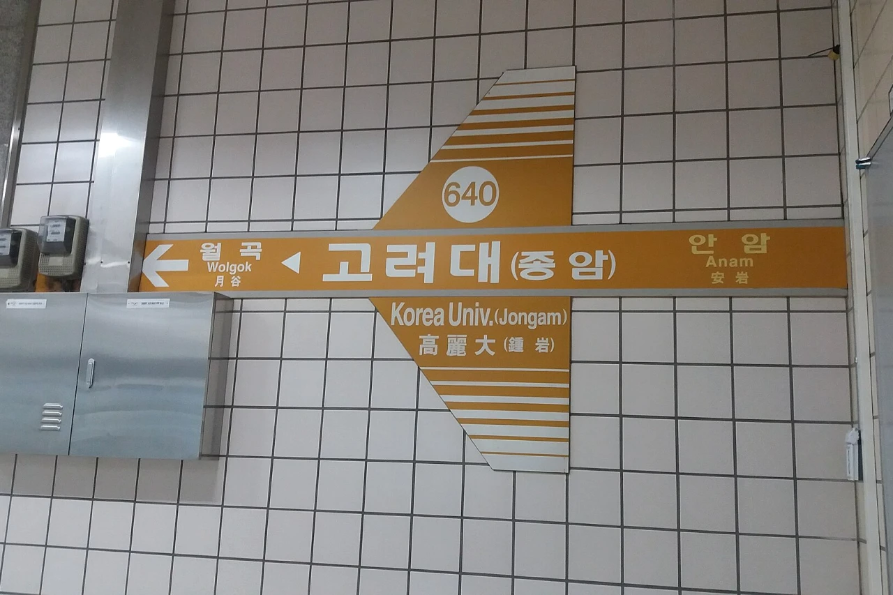
Naver Map vs Google Maps in Korea in 2026: Which App for Walking, Transit, Driving & Places?
Use the right map app for the task. Naver Map is still the strongest visitor default for Korean routing and local place data in September 2026, while Google Maps remains useful for familiar global place discovery and saved lists.
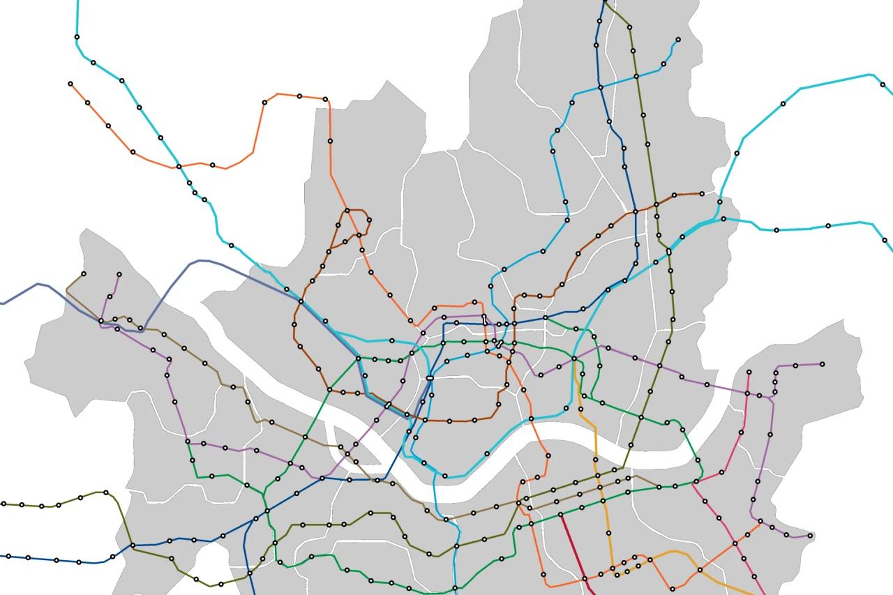
Airport Rail vs Airport Bus to Seoul: Which Is Better for Your Hotel?
Compare AREX all-stop, AREX Express and airport limousine buses by the whole door-to-door trip: hotel district, luggage, group size, transfer effort, traffic risk and arrival time.